
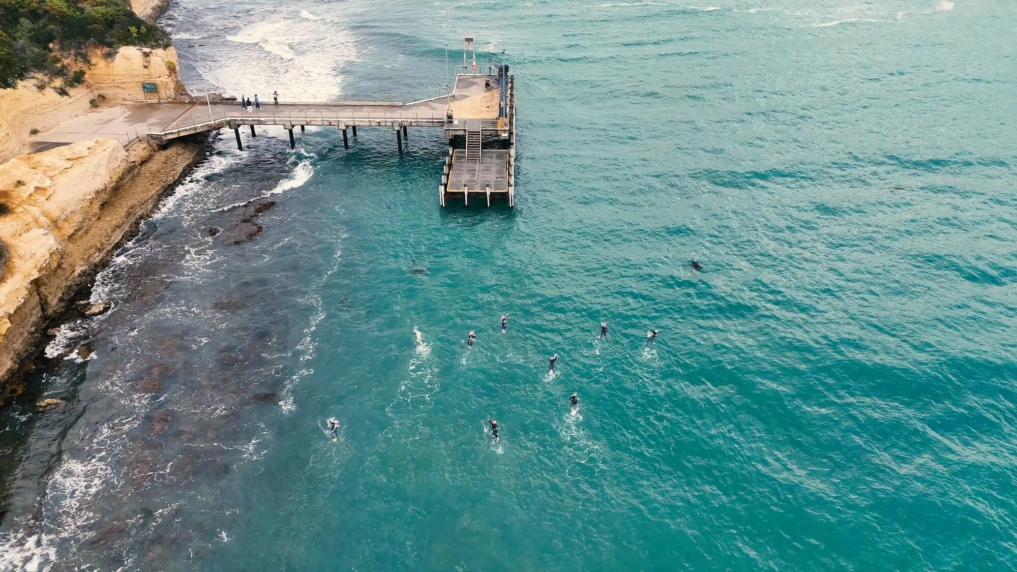
Seals, Terns, and Respectful Watching
Bring binoculars and linger beyond disturbance thresholds, letting wildlife shape your pace instead of your excitement crowding theirs. Learn how posture, spacing, and silence minimize stress, and use wind direction to carry scent and sound away from haul-outs. Share sightings responsibly, protecting sensitive locations from overexposure. When attention becomes stewardship, every glimpse feels like a gift freely given, and the crossing becomes a classroom where patience writes the most enduring field notes.
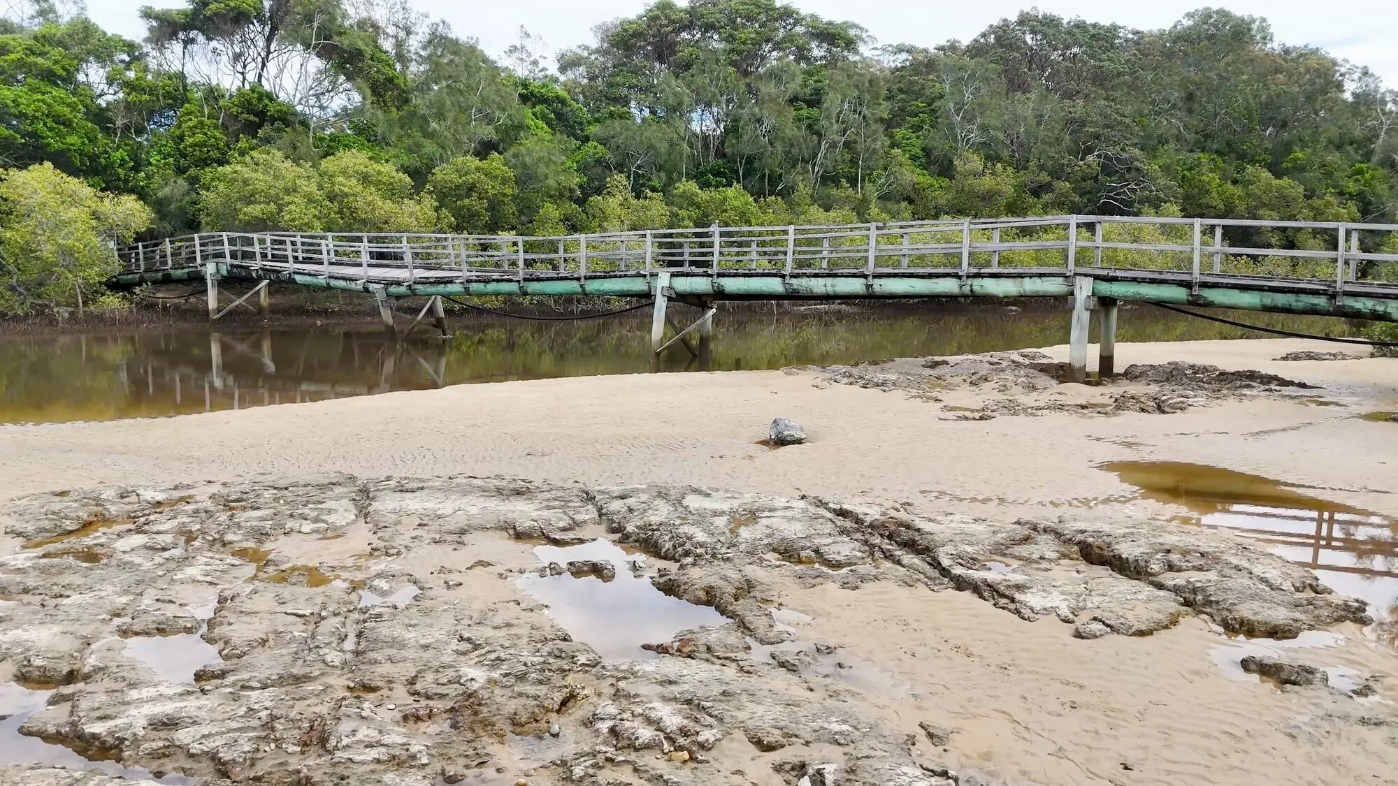
Rockpools, Ridges, and Reading the Ground
Look for rugose textures and pale sand tongues that betray submerged channels. Rockpools shelter blennies, shrimps, and beadlet anemones, but they also signal slipperiness and fragile life underfoot. Step where surfaces are most robust, keeping weight light over living colonies. Study ripple orientation against the wind; it hints at drainage routes and firmer lines. As awareness grows, navigation feels less like guessing and more like listening to the beach’s quiet, well-practiced language.

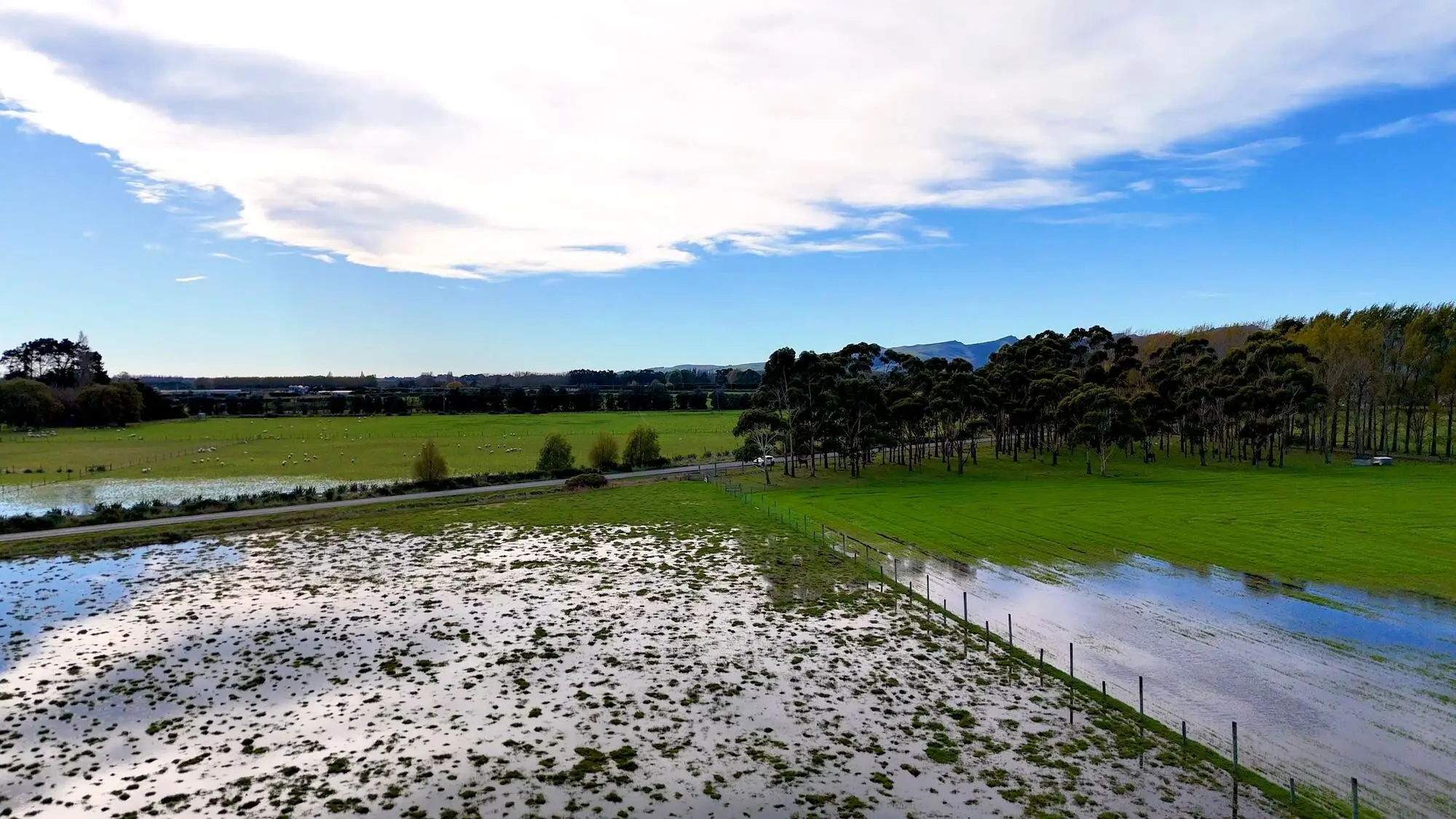
Shifting Sands, Ancient Stone, and Modern Maps
Causeways evolve as storms sculpt bars and weed mats slide across familiar steps, yet bedrock ledges and old piers offer reliable anchors to your mental map. Blend paper charts, GPS, and local signboards, then prioritize what your eyes confirm. Update your notes after each visit, recording how channels moved and which markers proved clearest. The dialogue between change and permanence becomes guidance, and your future crossing plans inherit calm precision from today’s attentive observations.